UW Automatic Weather Stations - 2013
| Regions:Years: |
Ross Island Vicinity Stations (2013): |
|||||||||||||||||||||
Ferrell AWSOwner:Site Code: FER Initial Start Date: 1980-12-10 Info from Service Visit: 2013-01-01 Latitude: -77.84 S Longitude: 170.819 E Elevation: 44 meters WMO ID: 89872 AWS Model: AWS2B ARGOS ID: 8947 2013 Archive (FTP): 3-hourly | 10-minute Station Records:
Notes: Station was named for an Antarctic helicopter pilot. Installation of a duplicate tower at Ferrell on 2-10-11 (approximate ground time 2.5 hours) Team: Jonathan, Lee and Melissa Pilot: Dean Helo Tech: Roger UNAVCO GPS was set out. Approximate times were 8:00 pm - 10:30 pm. It was about a 45 minute 212 helo flight from McMurdo. The instrument heights on the original tower are as follows: Lower temp: 62 cm ADG: 60 cm Electronics box: 127 cm ADG electronics box: 53 cm ADG solar panel: 57 cm Junction box: 27 cm Solar panel: 201 cm Boom: 277 cm Boom oriented at 6 deg The ADG, ADG electronics box, lower temperature and ADG solar panel were removed from this station. Otherwise this station remains as is. We installed a full new station about "21 Jonathan paces" to the east of the original station. This station will be used to test the difference in measurements between the old style AWS station and the new style AWS station. A 5' and two 7' tower sections were installed. The tower and guides have been installed approximately 2-3 feet into the snow. Two sets of batteries and a full set of instruments were installed at this site. The final instrument heights were: Lower temp: 102 cm J-box: 207 cm Electronics box: 240 cm ADG and pyronometer: 432 cm Solar panel: 365 cm Upper temp and HMP: 524 cm Aerovane: 568 cm | 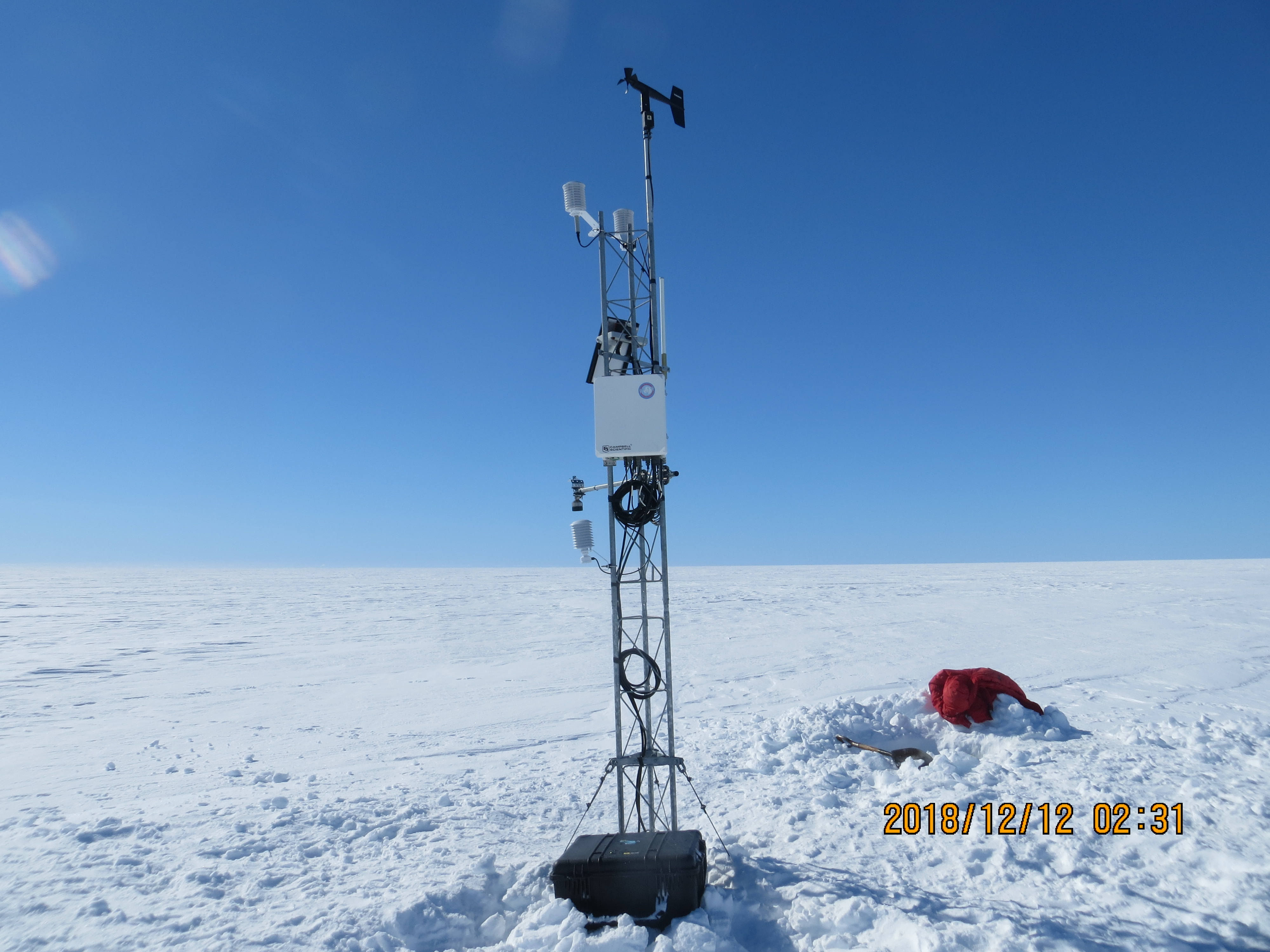 34 Photos 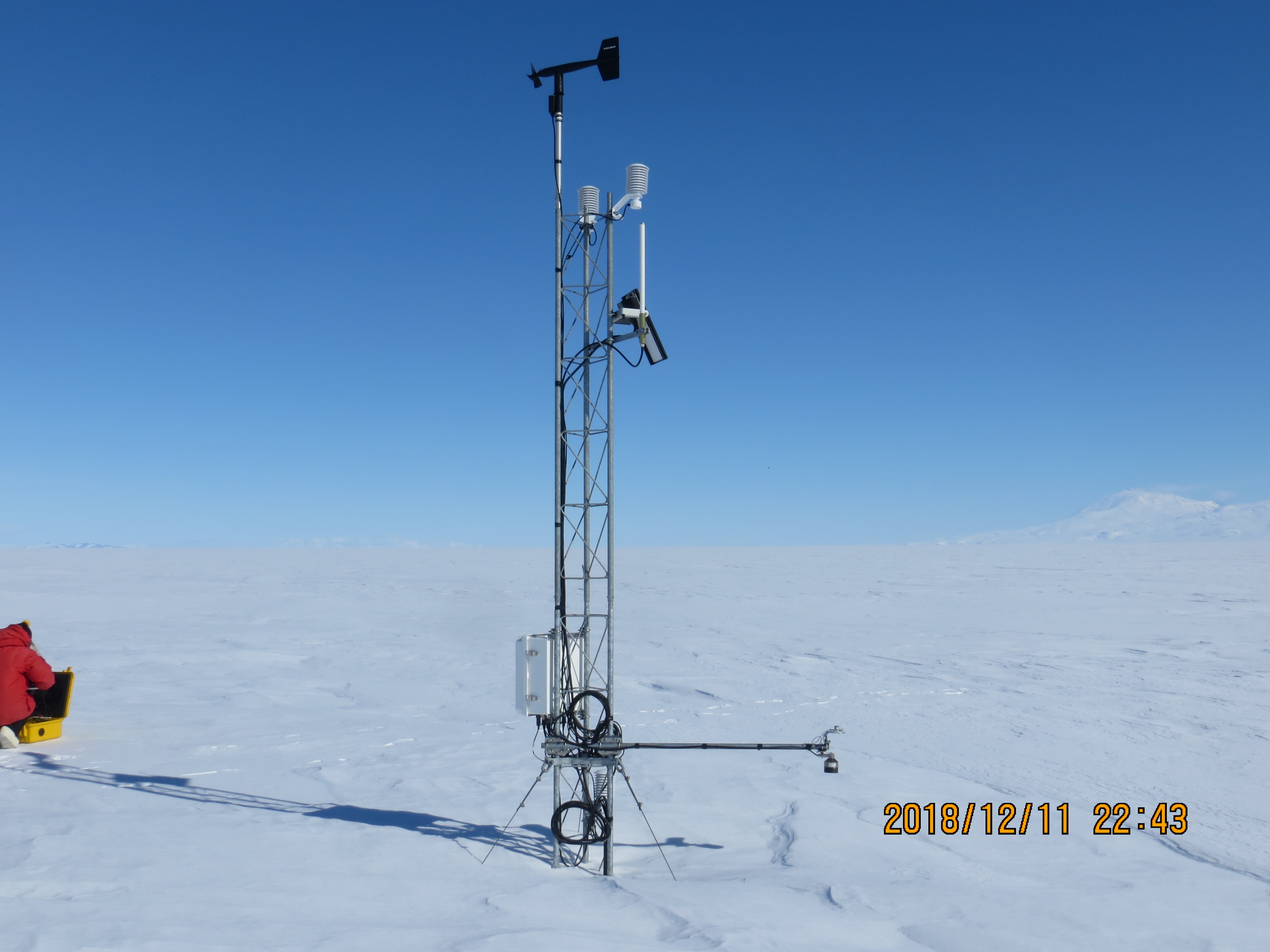 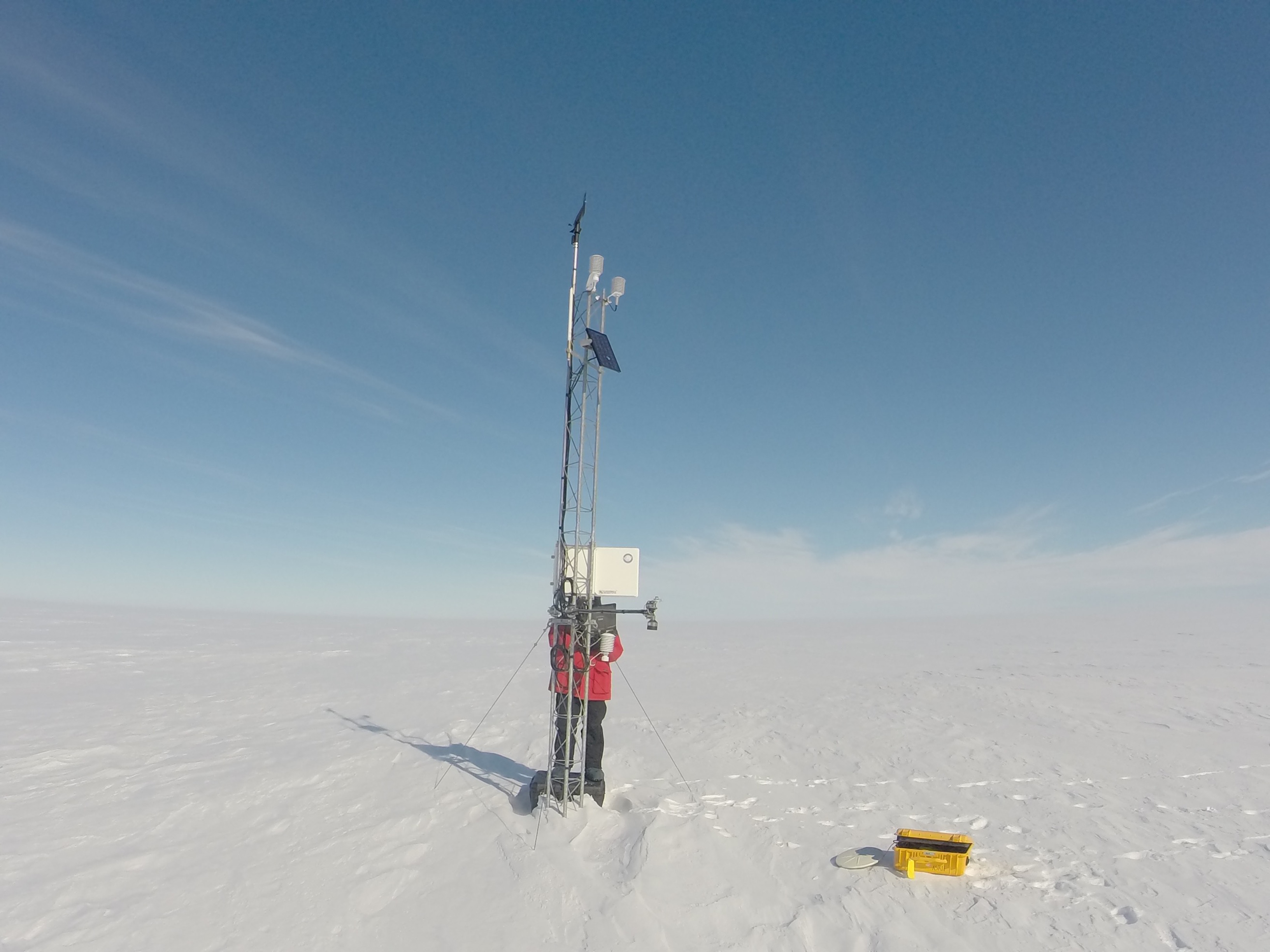 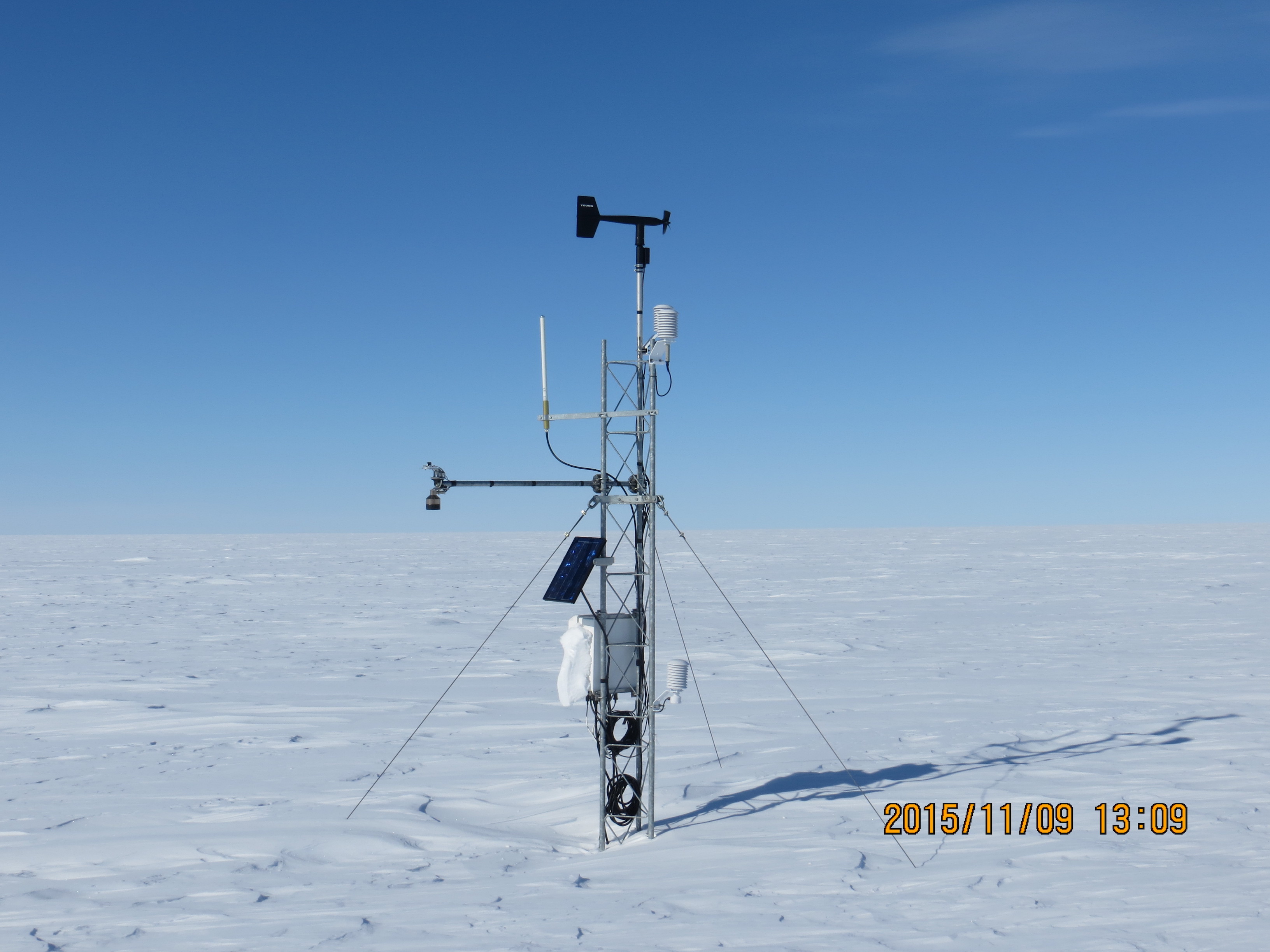 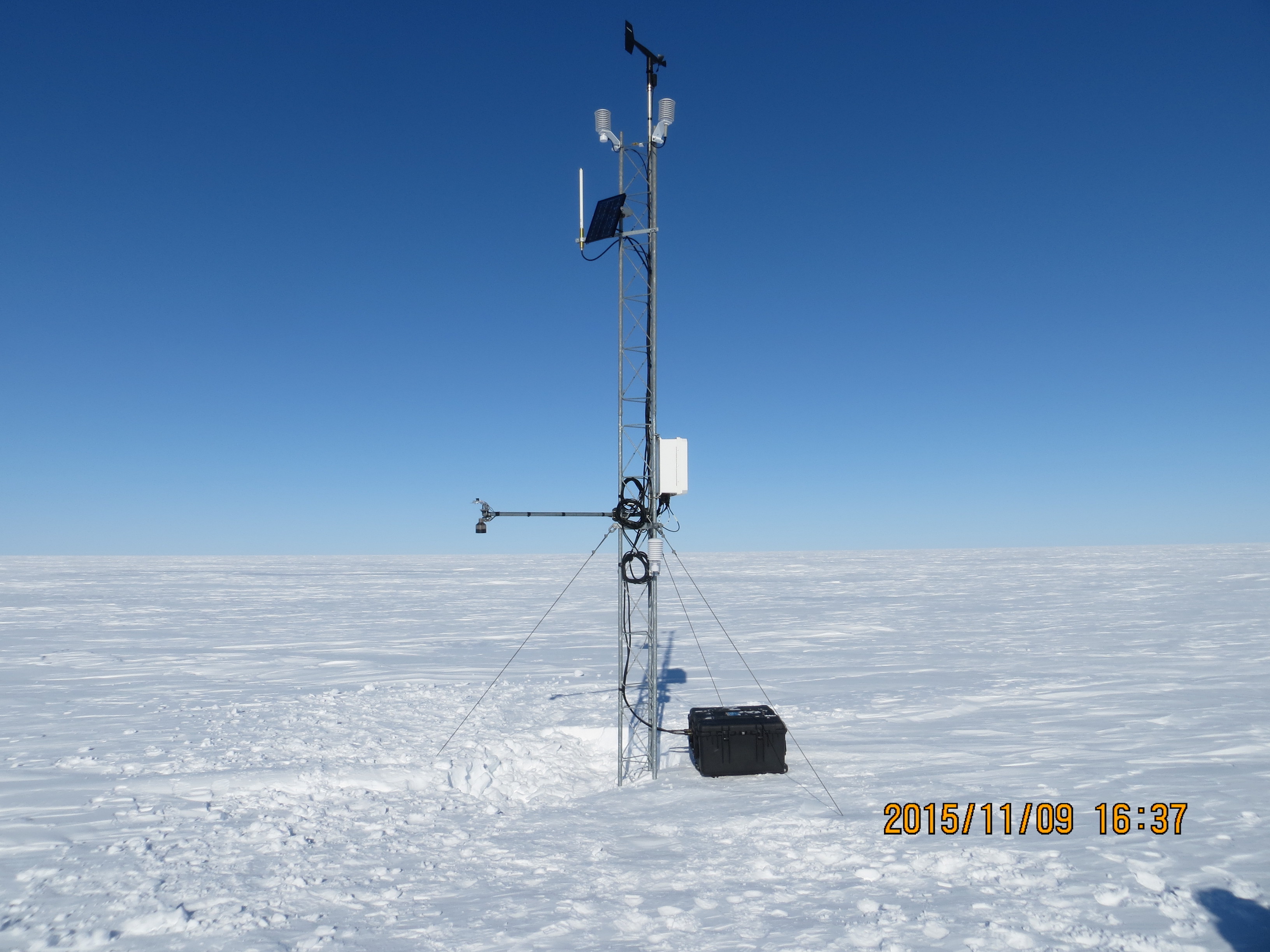 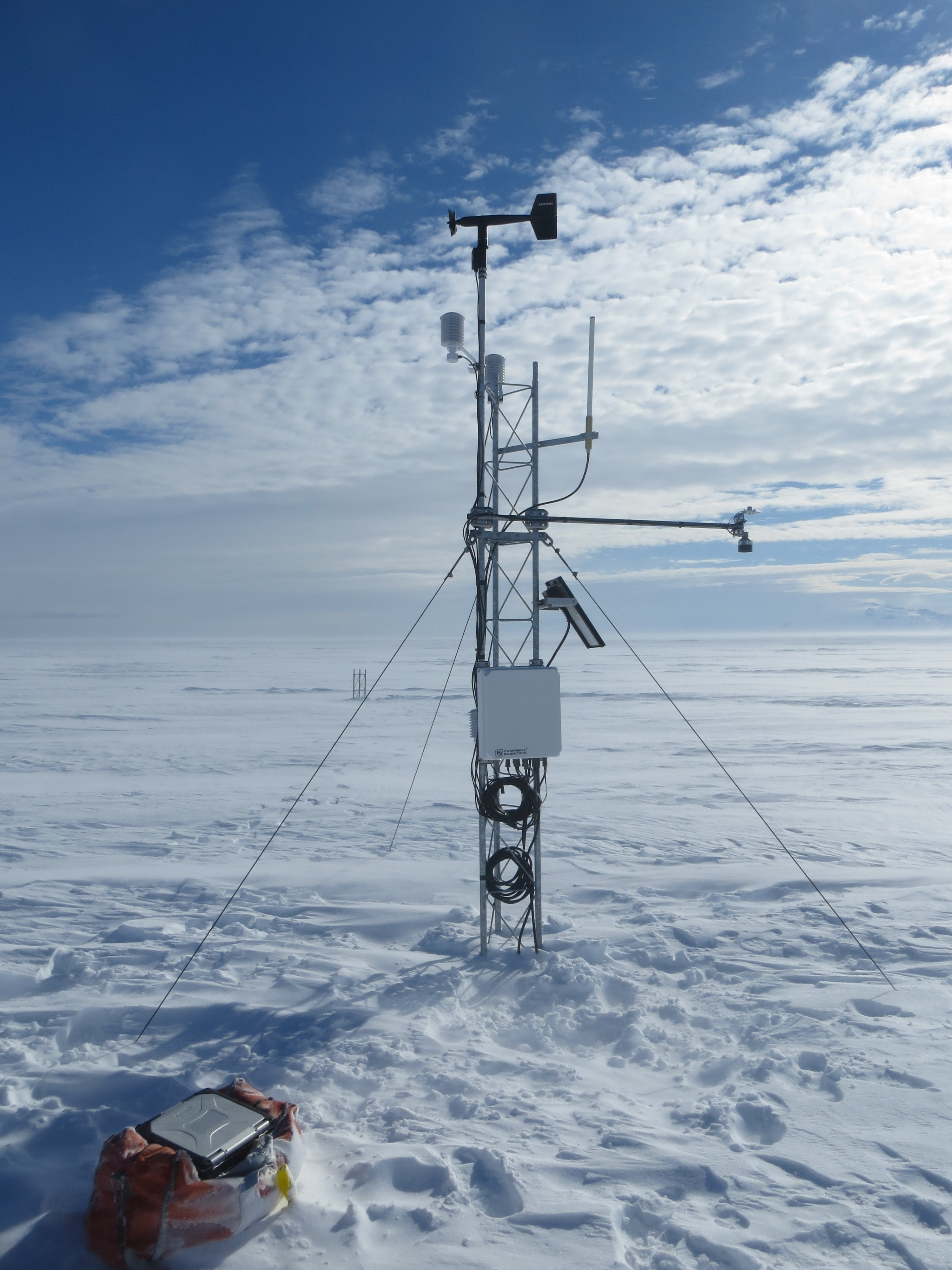 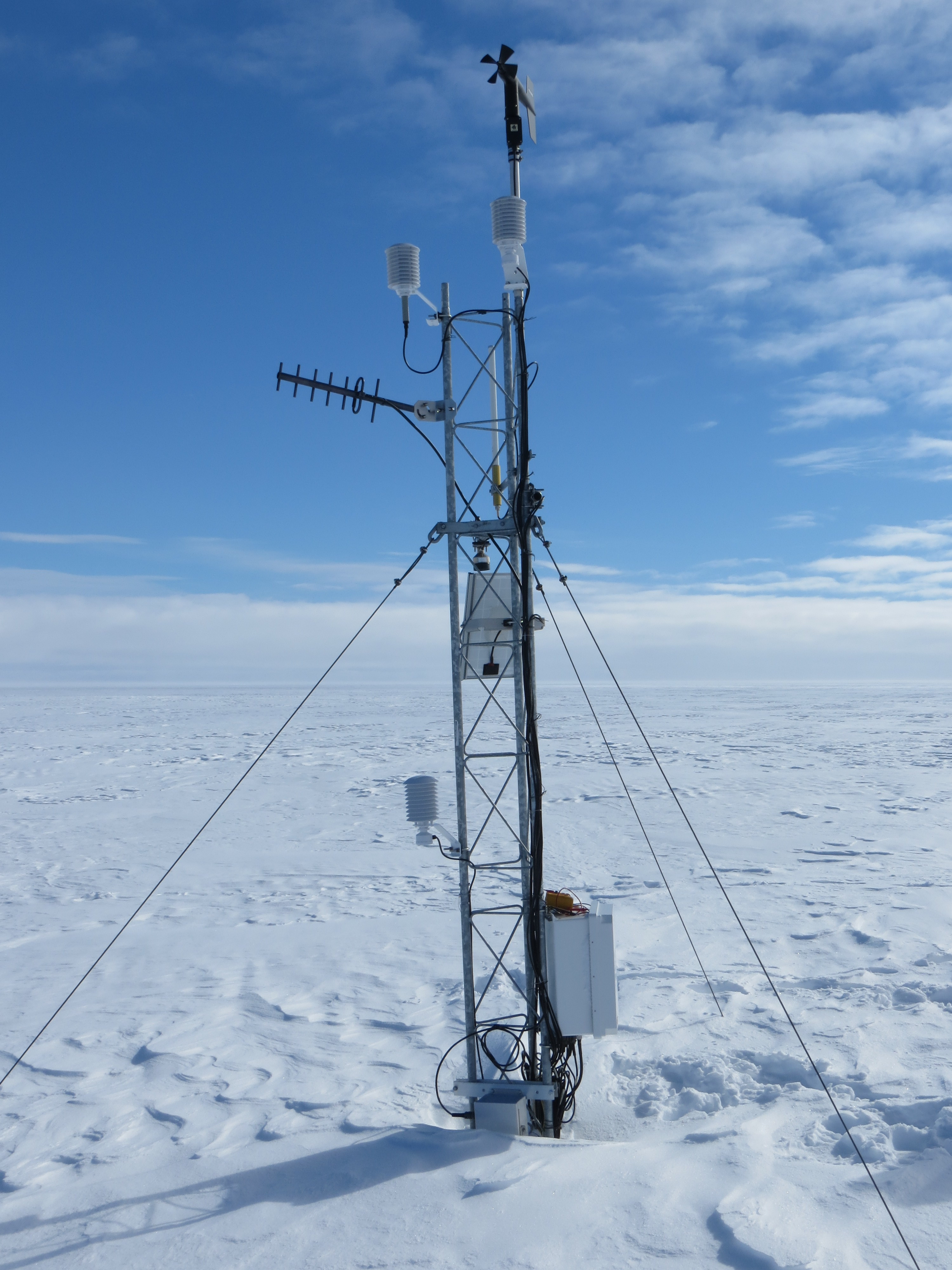 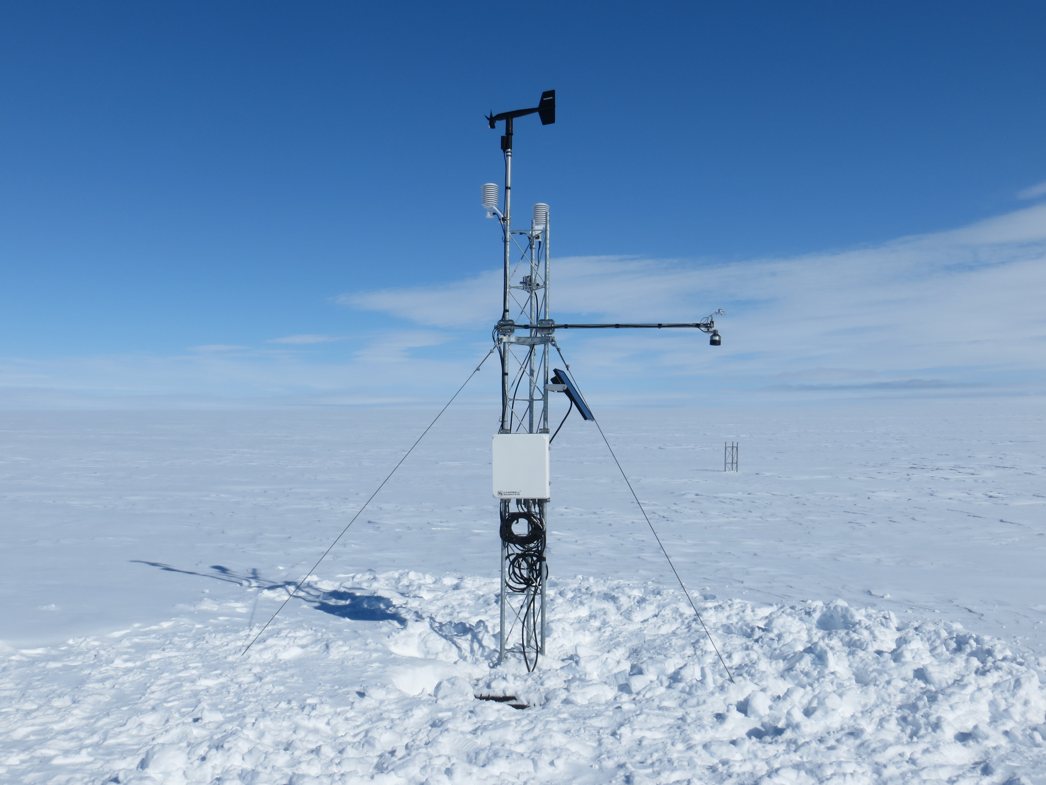  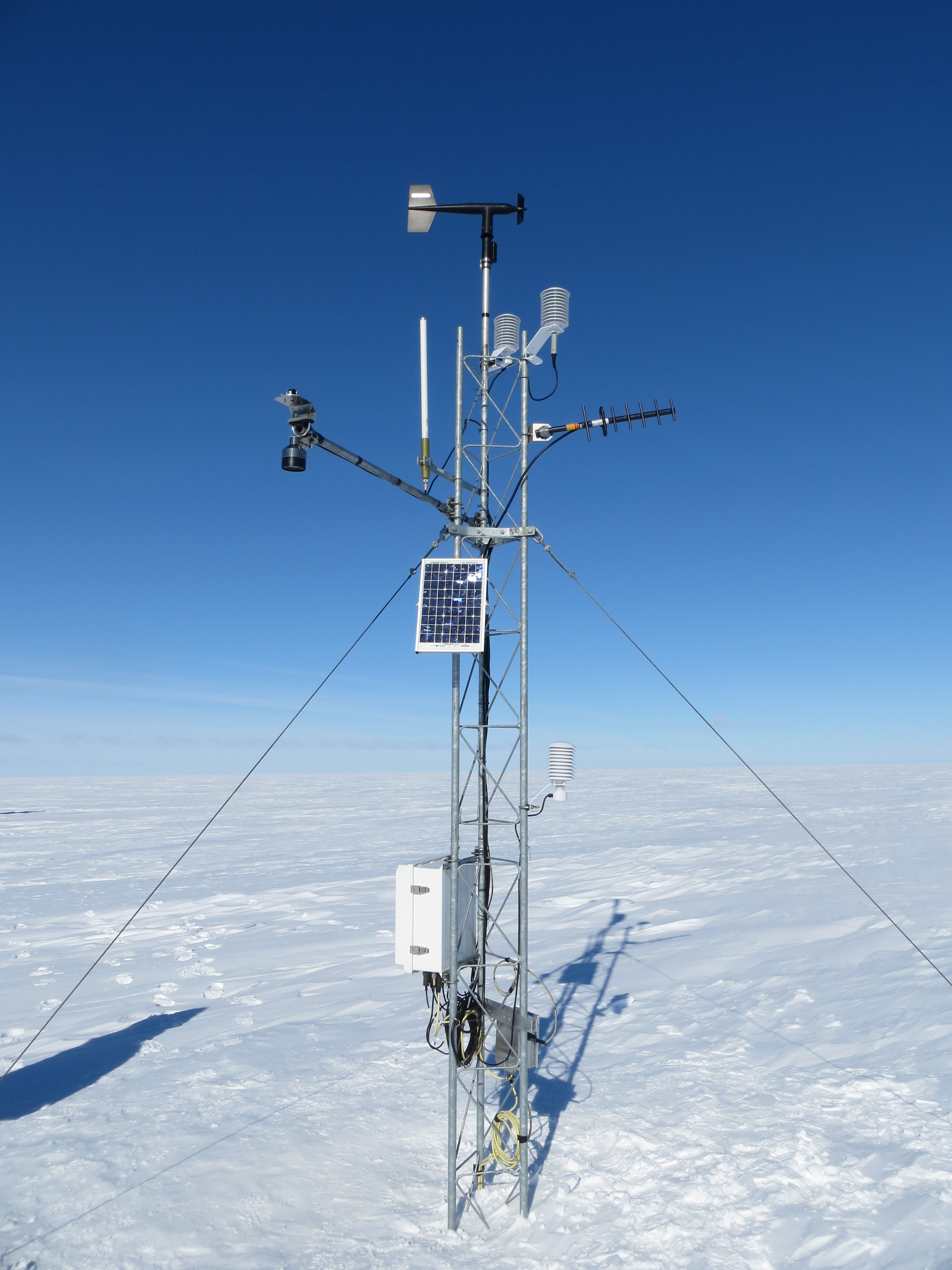 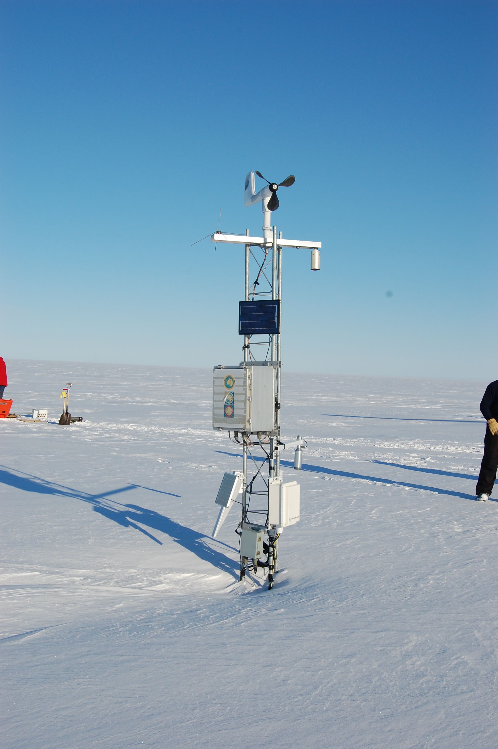 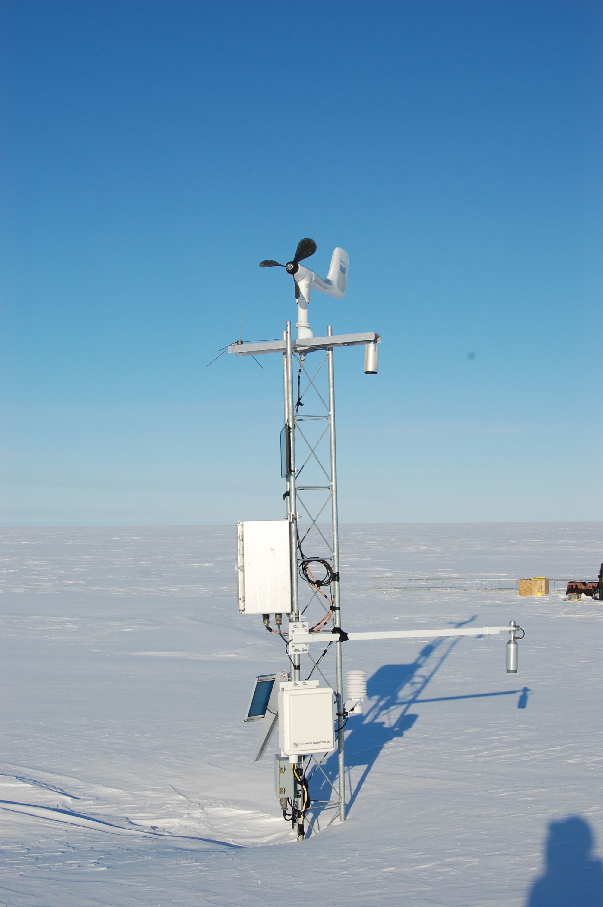 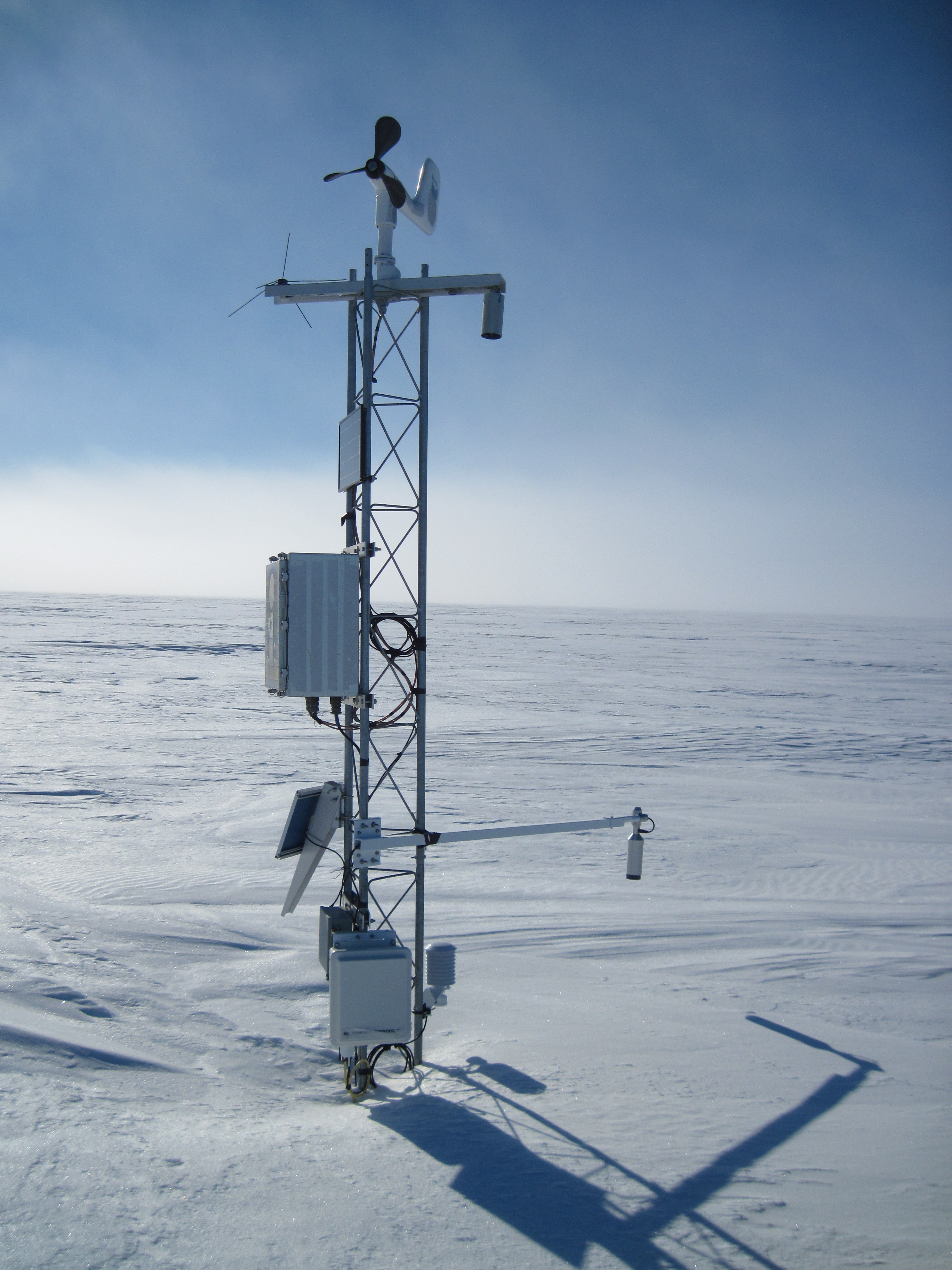  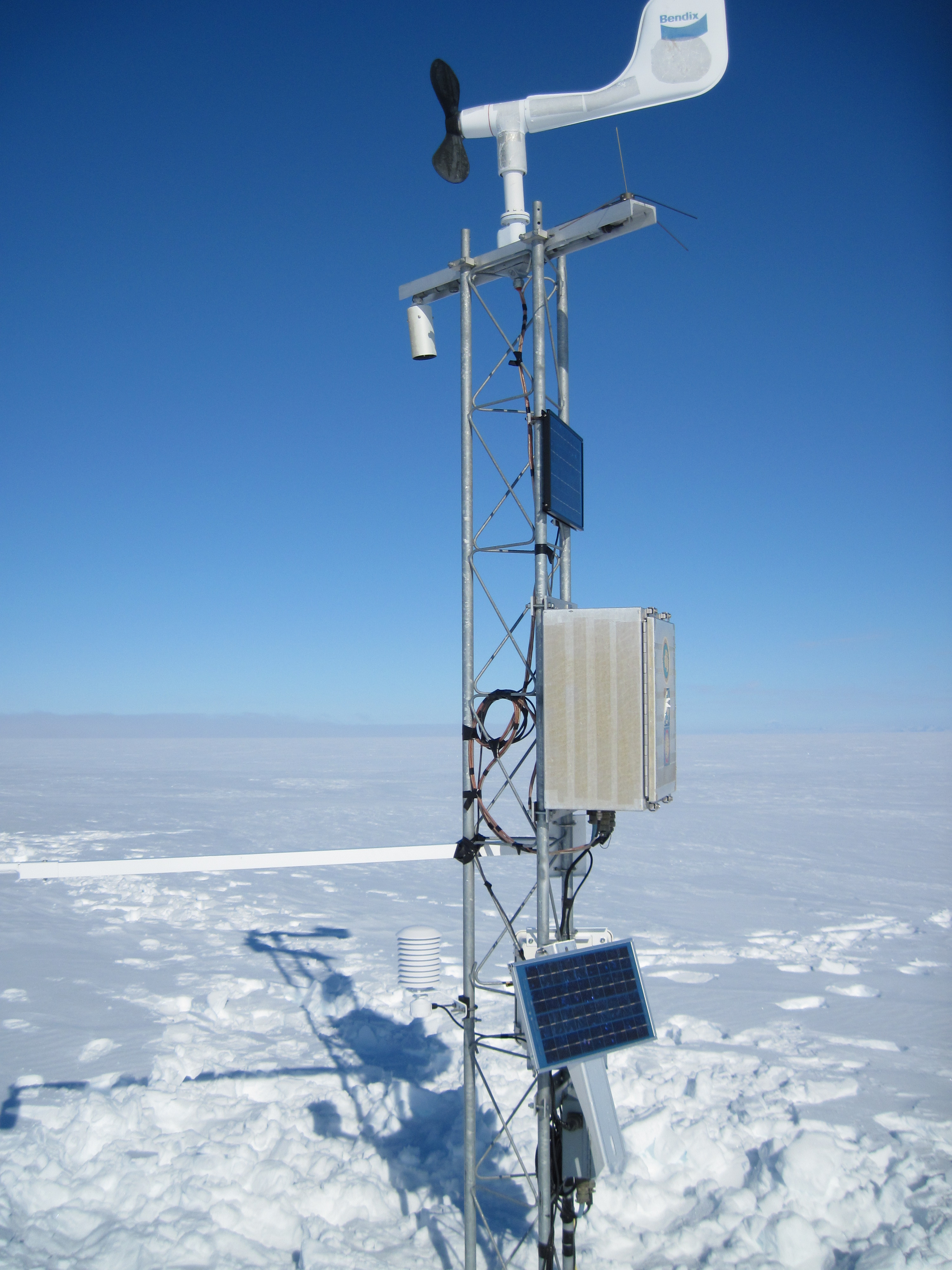 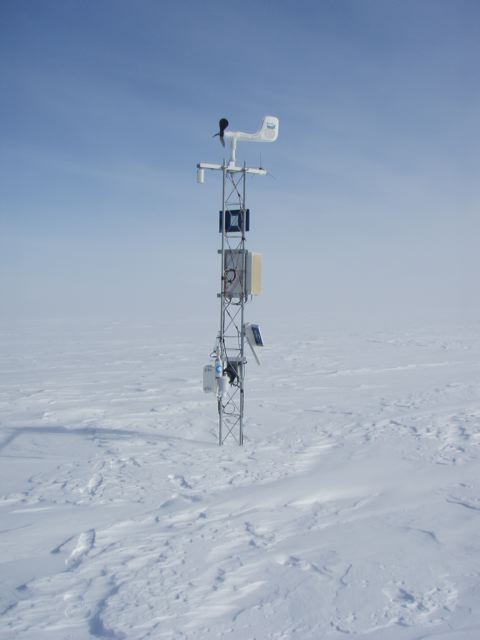 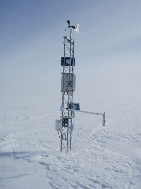 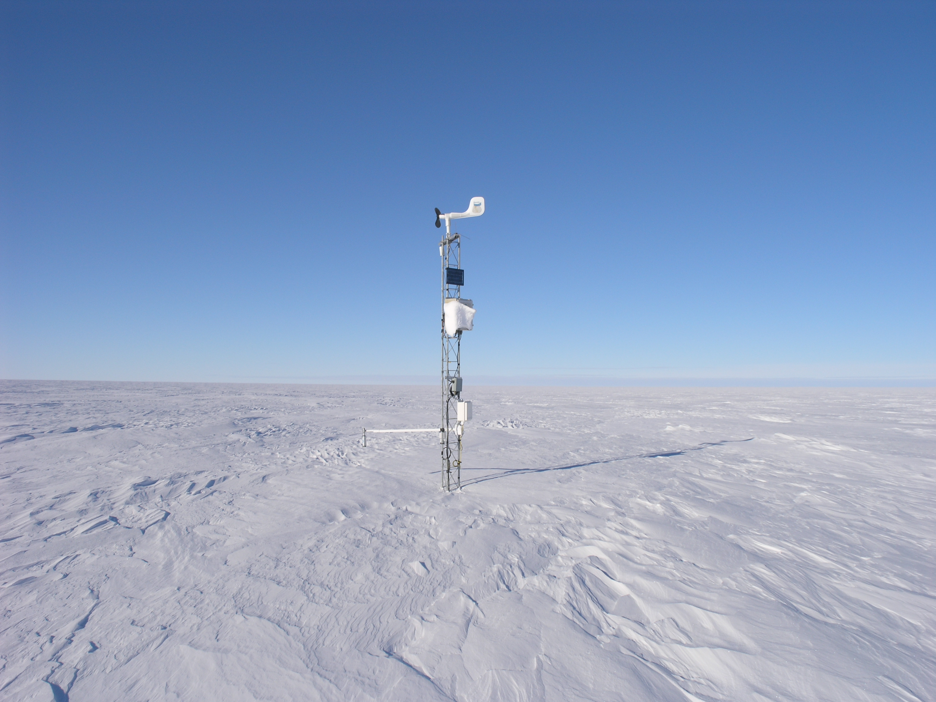 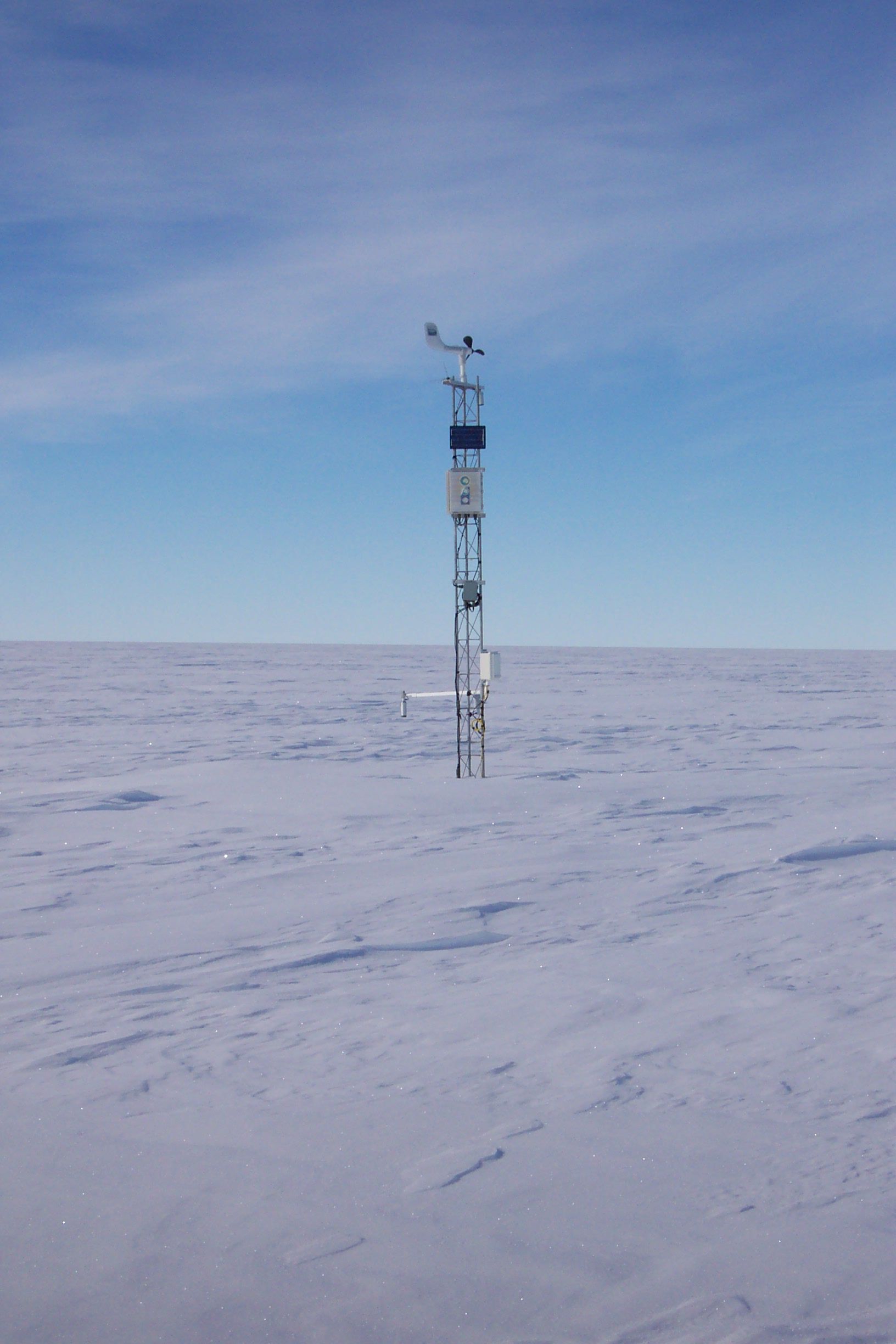  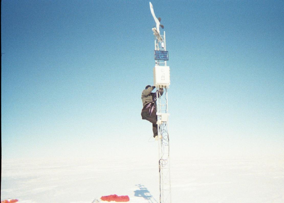 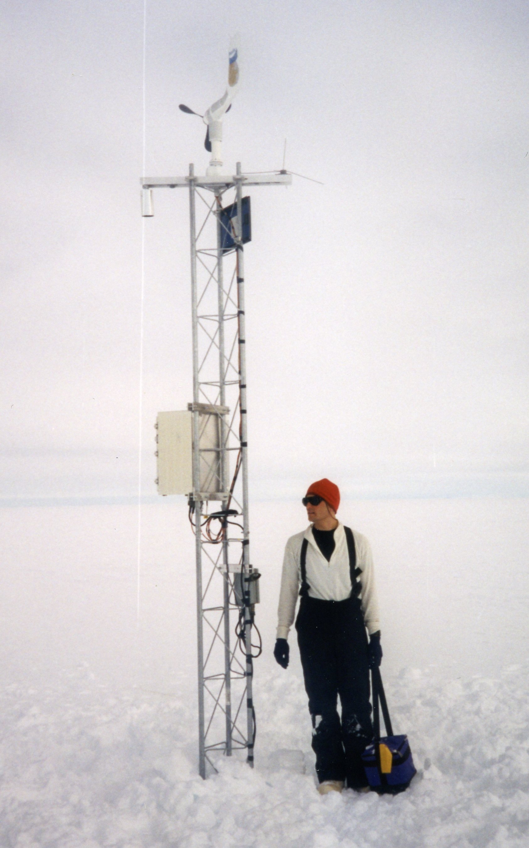 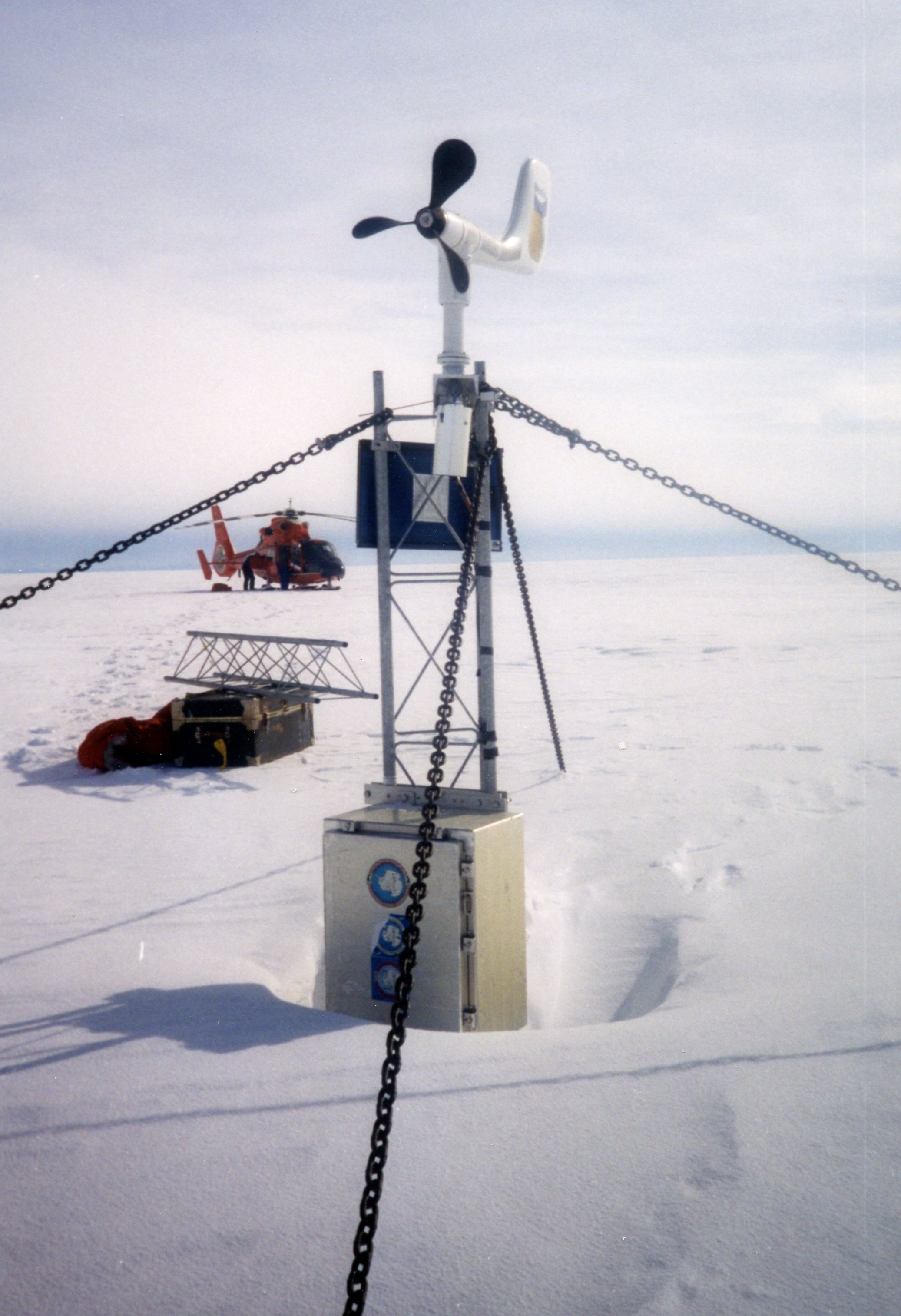  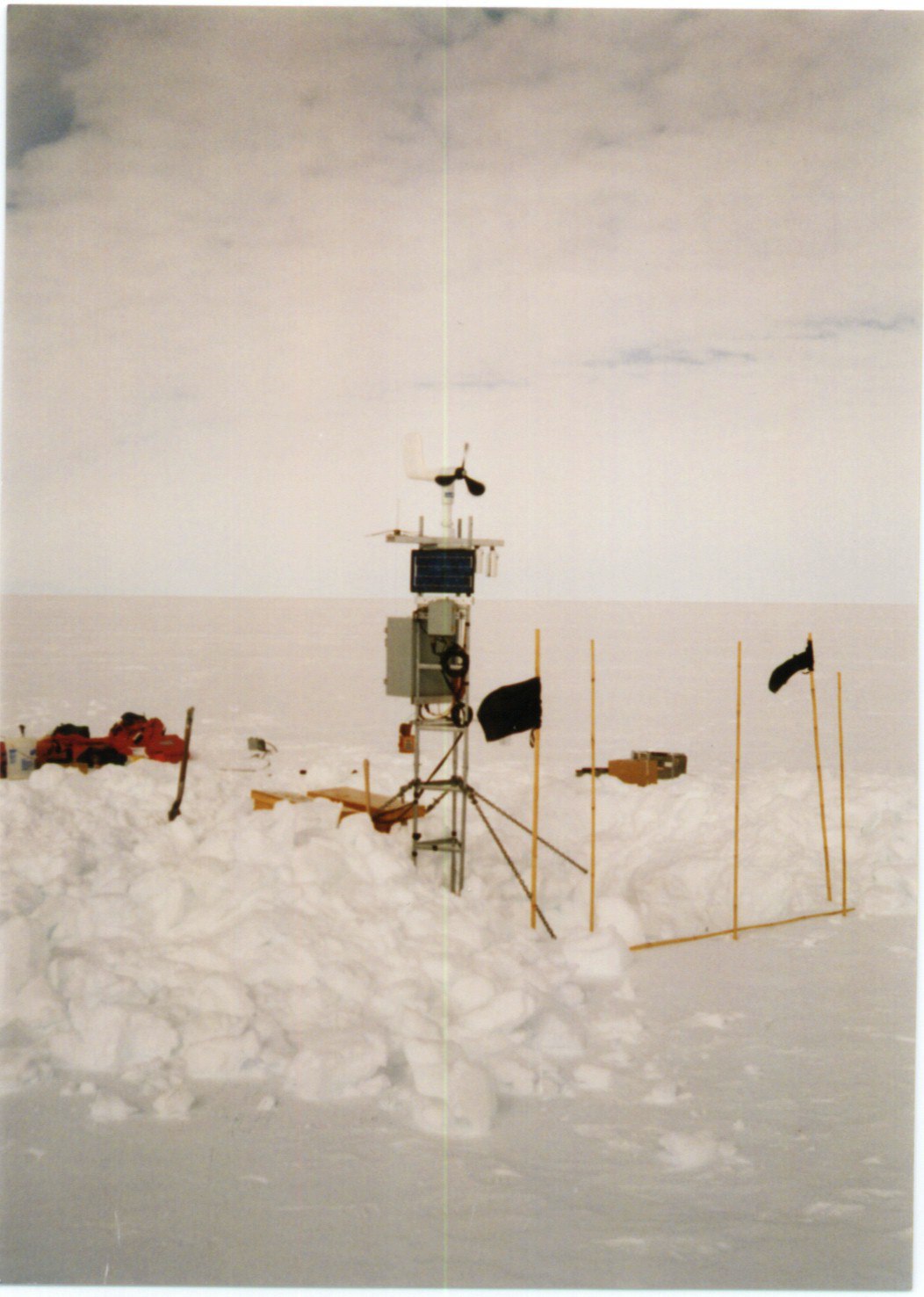 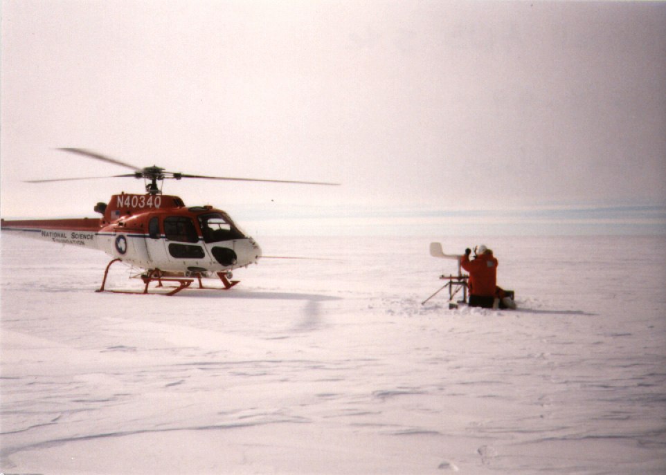  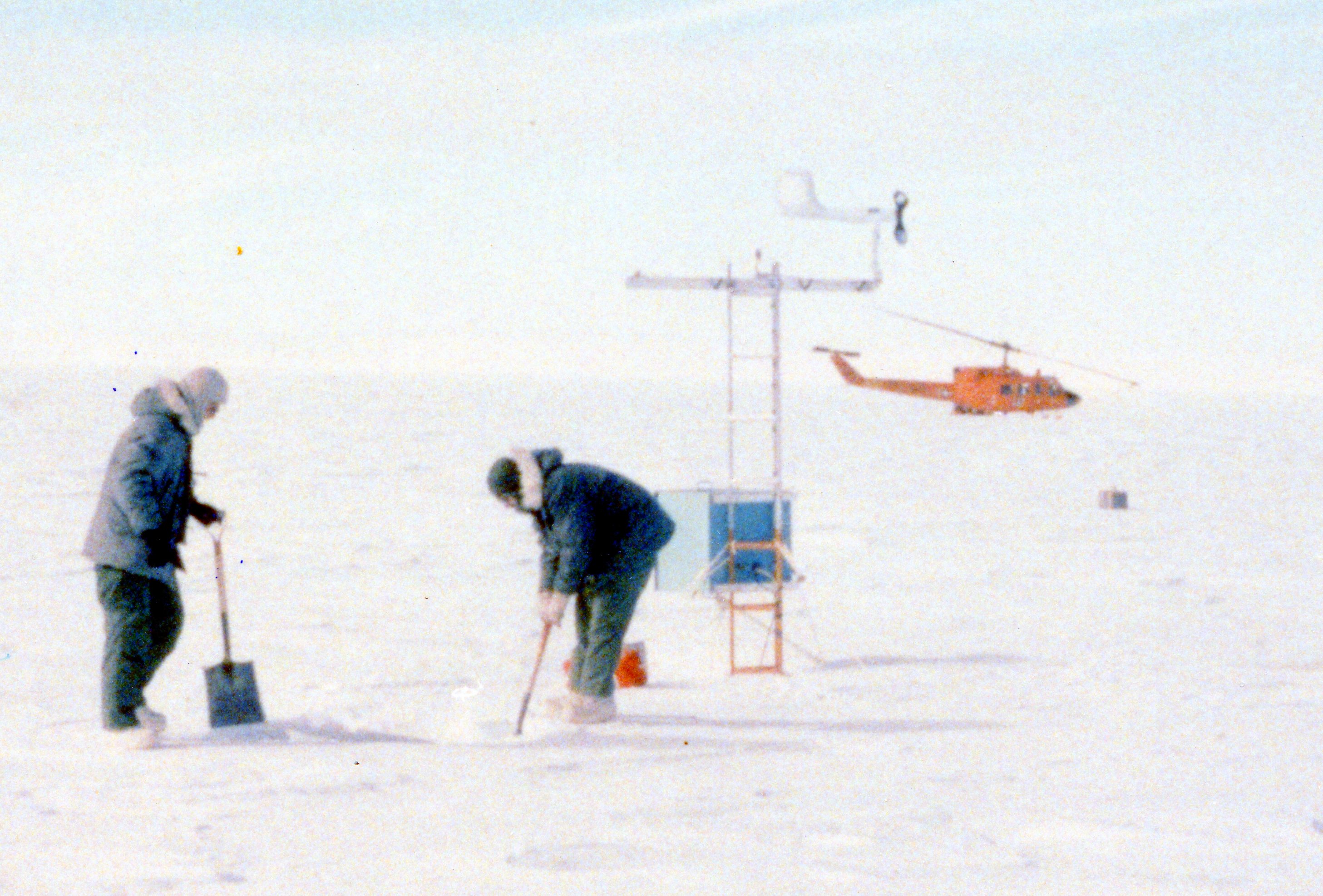  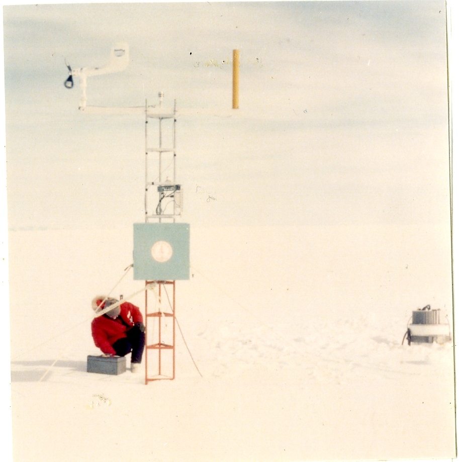  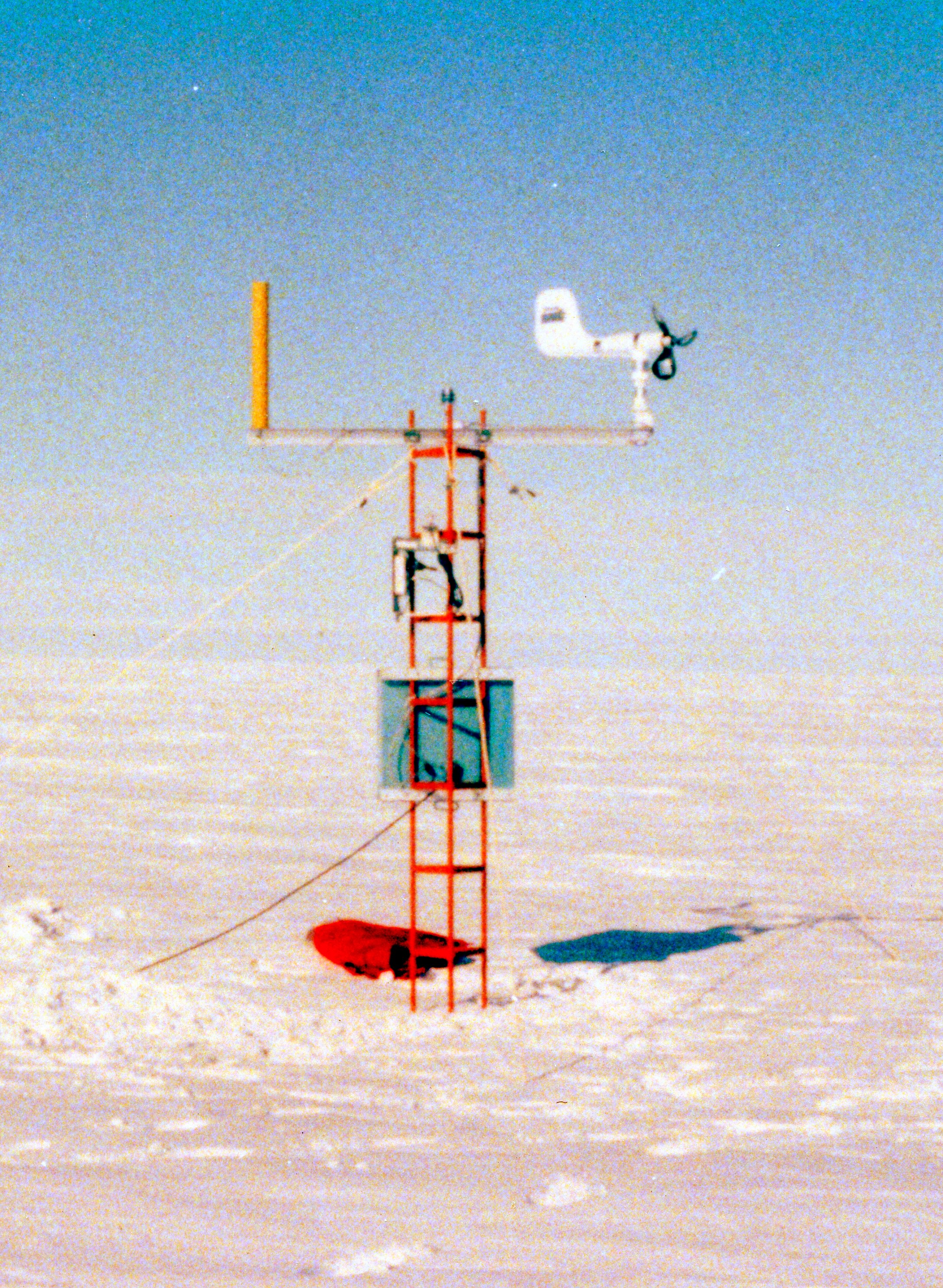 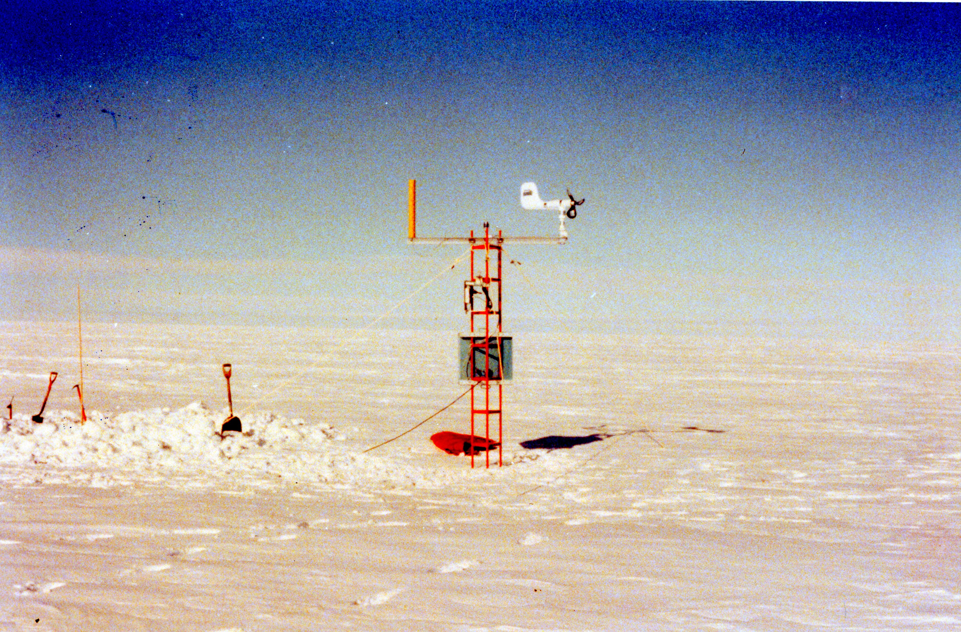 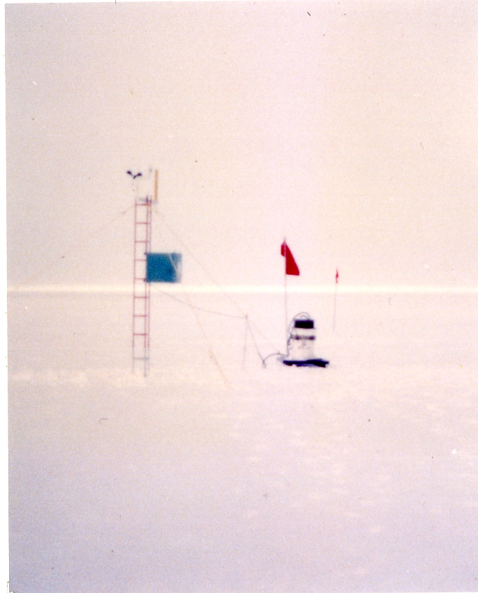 | |||||||||||||||||||||